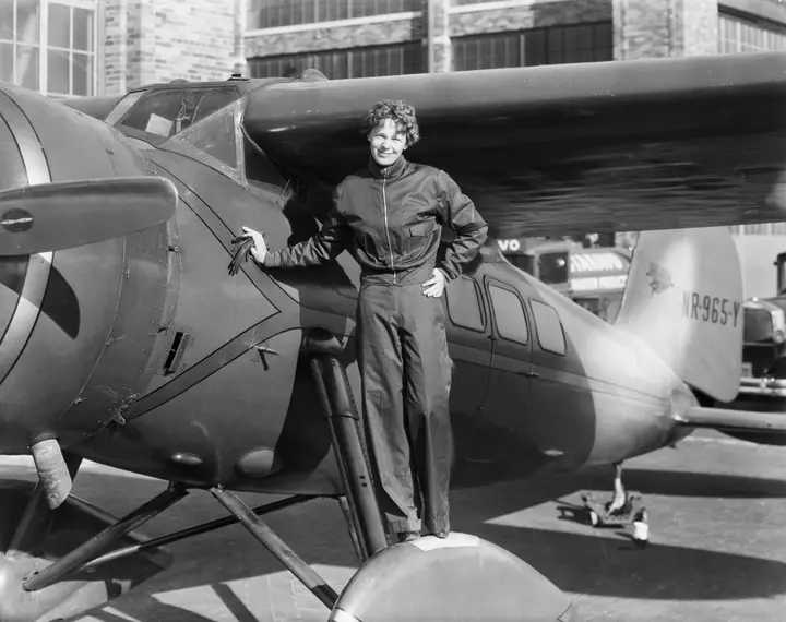
The search for Amelia Earhart’s lost plane continues in the South Pacific. Researchers from Purdue University reached the coral atoll of Nikumaroro earlier this week, as they continue their expedition that aims to solve the mystery of what happened to the aviation pioneer. They plan to use sonar, magnetometers and other techniques to examine the "Taraia Object," an unusual shape visible in satellite imagery off Nikumaroro, which researchers believe could be Earhart's plane.
The team began fieldwork this week, sharing in a post on October 14, "Fieldwork is underway on Nikumaroro!" But severe weather on Thursday delayed the expedition from going ashore, temporarily pausing fieldwork. Rick Pettigrew, executive director of the Archaeological Legacy Institute, said in a statement: "We understand the tremendous interest in what we’re doing at Nikumaroro, and we appreciate everyone’s patience." "This is a complex scientific process," he added. "You don’t simply arrive at a site and immediately identify what’s there.
We have to carefully collect the data, analyze it and reach sound conclusions." Researchers plan to use sonar, magnetometers and other archaeological techniques to examine the object and determine what lies beneath the sediment. Despite delays from the weather, the team is on schedule. An update on the identification of the Taraia Object is expected in the next 48 hours, before the team departs the atoll.
As the expedition continues, Newsweek has compiled a timeline of the key events to know about Earhart's disappearance. Earhart disappeared on July 2, 1937, during an attempt to become the first female pilot to fly around the world. She began her journey, alongside her navigator Fred Noonan, in Oakland, California in May 1937 and her flight route took her along the equator.
They traveled eastwards across the United States before heading through the Caribbean, South America, Africa, the Middle East, South Asia, Southeast Asia and Australia. By the end of June, the pair had reached Lae, New Guinea, in what is now Papua New Guinea. The next destination was the tiny, remote Pacific Island of Howland.
The plan was to refuel there before continuing on one of the most challenging legs of the journey across approximately 2,550 miles of open ocean. On July 2, Earhart and Noonan took off. Coast Guard cutter Itasca was stationed near Howland Island to assist with radio communications and navigation.
Extract — continue reading at the source.