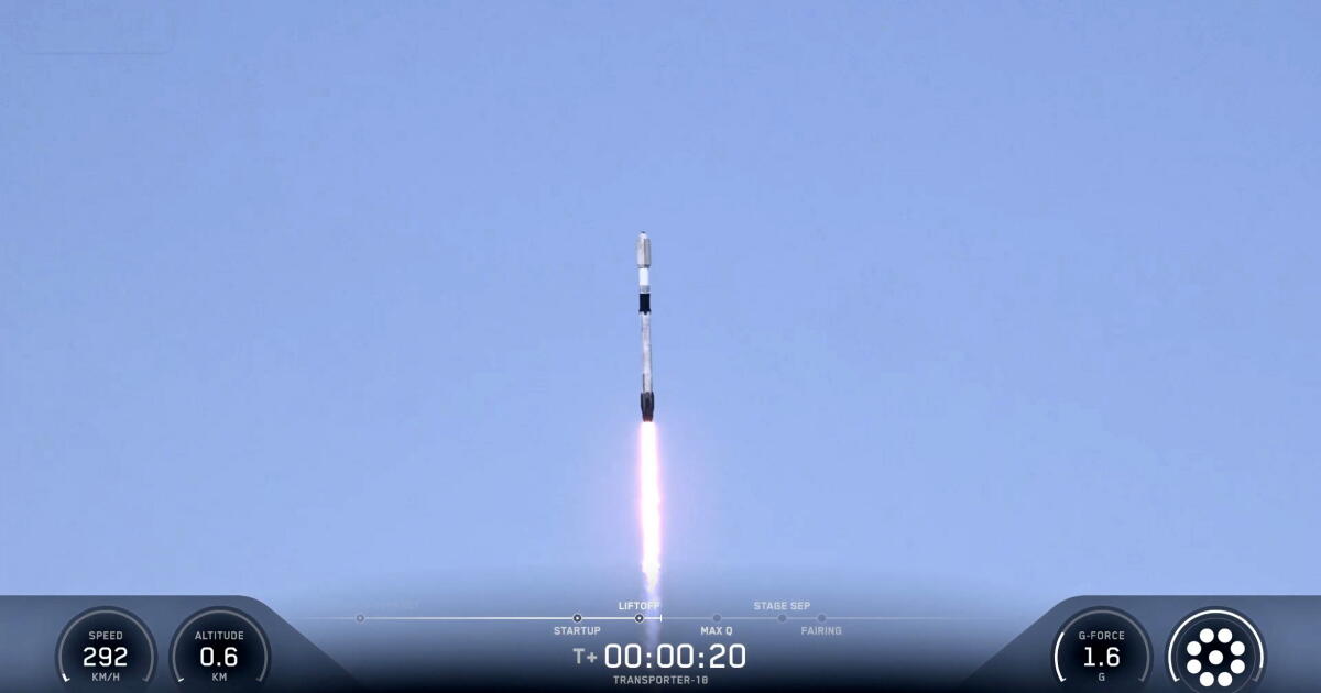
California got its second satellite tuned to spot a powerful climate pollutant Thursday when it launched from Vandenberg Space Force Base in Lompoc. Pasadena-based nonprofit Carbon Mapper, which partners with the state, can now check twice as often for climate-heating methane plumes, improving the emerging picture of this invisible gas. Unlike other pollutants, methane is not exhaust.
Instead, it leaks, gushes or wafts from landfills, oil and gas equipment and manure pits at dairy operations. Regulators will be able to to find leaks and follow up faster to make sure operators have made repairs, Buckley added. Many other states and countries have been making use of the images Carbon Mapper’s first satellite, Tanager-1, beams down.
Methane traps heat at about 80 times the rate of carbon dioxide for the decade-plus that it lasts in the air. That makes it urgent to address. In California, which is required to reduce methane emissions 40% below 1990 levels by 2030, landfills are responsible for about 41% of methane pollution.
Carbon Mapper launched its first methane-tracking satellite, Tanager-1, in August 2024, in partnership with the satellite company Planet Labs and NASA Jet Propulsion Laboratory. Both went aboard SpaceX rockets. Carbon Mapper chief executive Riley Duren, who worked at NASA for 30 years, said the company aims to visualize 90 percent of methane emissions around the planet eventually.
Satellites sensors like the one on the new Tanager-2 can detect the invisible gas by measuring wavelengths of light bouncing off the earth’s surface. Global methane plume data is available on 30-day lag on Carbon Mapper’s website. The air board started working with Carbon Mapper last spring to pinpoint methane emissions.
The satellite can see methane at the facility level — exact to within 50 meters. The agency gets the images within 48 hours, then sends out notices to landfill and oil and gas operators when methane is seen escaping. CARB says that since it started getting the data in May 2025 from the first methane satellite, it’s been able to address at least 18 methane gushers.
Extract — continue reading at the source.