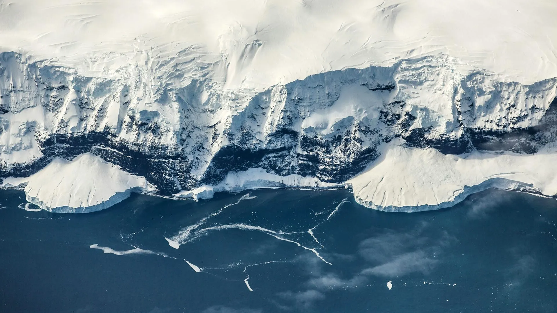
Scientists have found a new explanation for why Antarctica became covered in ice millions of years before the Arctic. The international study, published in Science, addresses a long-standing climate mystery: how Antarctica could develop a massive ice sheet at a time when Earth was around 5ºC warmer than it is today. The findings point to the gradual formation of high terrain in East Antarctica.
As an escarpment, plateau, and mountain system rose, it created elevations cold enough for snow and ice to persist and build up over time. The process began after Antarctica and Africa started separating during the Jurassic Period, 201-143 million years ago. Powerful forces deep inside Earth gradually lifted much of East Antarctica over more than 100 million years, helping set the stage for ice sheet formation about 34 million years ago.
The study was led by researchers at the University of Southampton, working with scientists from Durham University, GFZ Helmholtz Centre for Geosciences in Germany, the University of Potsdam in Germany, Utrecht University in the Netherlands, and the University of Florence in Italy. Lead author Thomas Gernon, Professor of Earth Science at the University of Southampton, explained: "Antarctica's land surface was gradually lifted to the point where ice could gain a permanent foothold, even while the surrounding polar oceans as well as global temperatures remained surprisingly warm." The East Antarctic Ice Sheet is now the largest ice sheet on Earth. It contains enough frozen water to raise global sea levels by around 52 meters if it were to melt completely.
Simulating 100 Million Years of Antarctic Uplift To understand how the landscape changed, the researchers used computational models to reconstruct the evolution of East Antarctica's surface across 100 million years. Their results suggest that a phenomenon known as 'mantle waves' was responsible for much of the gradual uplift. Mantle waves were recently identified by Prof Gernon's team.
They travel beneath continents after tectonic plates begin to separate and have previously been linked to the eruption of diamond volcanoes and mysterious phases of uplift within continents. As these slow-moving waves passed beneath East Antarctica, they helped raise a vast plateau topped by the Gamburtsev Mountains. The recent discovery of mantle waves gave researchers a mechanism that could explain how Antarctica reached elevations high enough to begin freezing.
The simulations indicate that by about 45 million years ago, large parts of East Antarctica had climbed above the critical elevation, about 2 km, required for mountain glaciers to develop and expand. Over time, those glaciers grew together to form the East Antarctic Ice Sheet. Thea Hincks, Senior Research Fellow at the University of Southampton who co-led the study, said: "We found that our models can realistically capture the evolution of the two-kilometer-high coastal escarpment, elevated plateau and inland mountains, eventually seeding the East Antarctic Ice Sheet." The results may also explain why the two polar regions followed very different paths.
Extract — continue reading at the source.