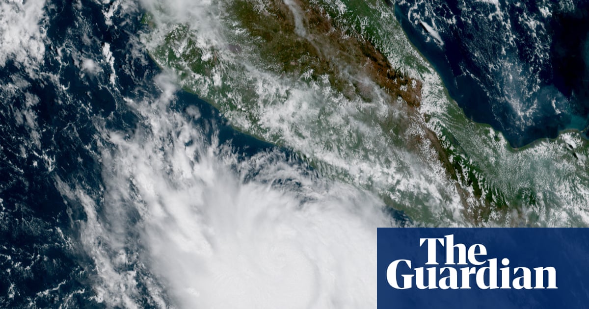
A tropical storm off the south-west coast of Mexico has intensified into a category 5 monster in fewer than 24 hours, fueled by stronger than usual El Niño weather patterns in the Pacific Ocean. Hurricane Polo was sending out maximum sustained winds of 165mph (266km/h) on Tuesday as its center churned about 215 miles (346km) south of the coastal city of Zihuatanejo, in Guerrero state. On Monday, Polo was only a tropical storm with winds below 74mph (120km/h).
Its rapid and sudden growth is testament to the dominance of this year’s so-called super El Niño, which set a record on Monday as the most extreme on record, and has amplified a number of extreme weather events globally. Forecasters at the National Hurricane Center in Miami said Mexico was likely to avoid a direct hit, but warned that further intensification was likely, and that life-threatening flooding and mudslides were possible inland, along with dangerous surf and rip current conditions. El Niño occurs when extended ocean temperatures in the eastern and central Pacific, and near the equator, rise above their historical average.
Meteorologists say the phenomenon increases disruptive winds and curtails other conditions favorable to storm development in the Atlantic basin, which remains quiet with less than three months to go in this year’s hurricane season. Conversely, it promotes increased activity in the Pacific, where the 2026 El Niño remains one of the strongest on record. Polo is the 18th named storm, and seventh hurricane, of the 2026 Pacific season, which runs from 15 May until 30 November.
By contrast, the Atlantic basin, which has a six-month season from June until November, has seen only six named tropical storms and no hurricanes so far. It is the first time in 112 years that no Atlantic hurricanes have formed by 21 September, and 2026 could join 1907 and 1914 as the only years without one being recorded.
Extract — continue reading at the source.