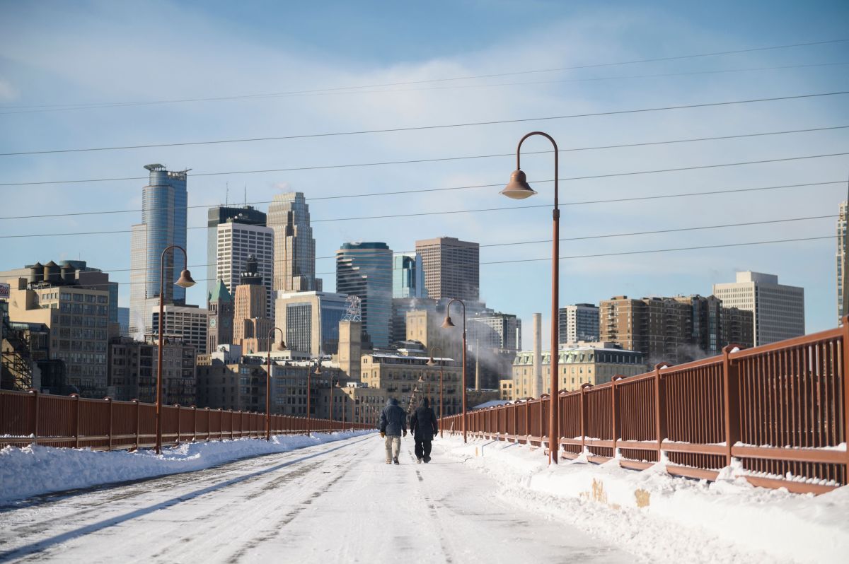
A very strong El Niño could interact with the polar vortex this winter, potentially influencing temperatures in parts of the U.S. While the polar vortex could “swing the pendulum” toward a brief spell of colder weather in some areas, one expert told Newsweek that it usually does not dictate the longer-term pattern. El Niño is the warm phase of the El Niño-Southern Oscillation, or ENSO, a recurring Pacific climate pattern that can affect weather worldwide.
Its counterpart, La Niña, is the cycle's cool phase. This month, the National Oceanic and Atmospheric Administration’s Climate Prediction Center (CPC) said that El Niño was strengthening and had a greater than 90 percent chance of a “very strong” event during the fall and winter months. It added that during October-December this year, there was a 75 percent chance of a historic event exceeding the strength of previous El Niños dating to 1950.
The CPC cautioned, however, that “with an event of this magnitude, the chances of experiencing impacts consistent with El Niño are larger, though not guaranteed.” The polar vortex is large area of cold air and low pressure surrounding Earth’s poles, according to the National Weather Service. It is present year-round but weakens during the summer months and strengthens during winter. The vortex often expands during winter, sending blasts of Arctic air southward over the U.S., the agency says.
The stratospheric polar vortex develops each year in late August and early September before breaking down during the spring, usually dissipating by mid-May, AccuWeather meteorologist Chad Merrill told Newsweek. Although forecasters monitor it throughout the fall, winter and spring, Merrill described the polar vortex as only “a small piece of a larger puzzle” in determining winter conditions across the U.S. He said El Niño and the Pacific Decadal Oscillation—another Pacific climate pattern—would likely take precedence over the polar vortex in this winter’s forecast.
A strong stratospheric polar vortex typically allows warmer-than-average temperatures to circulate across the Northern Hemisphere, Merrill said. However, he cautioned that other large-scale patterns can still produce outbreaks of cold air in the U.S. while the polar vortex is strong. When the polar vortex is weaker than average, outbreaks of cold air can push into the Northern Hemisphere, he continued.
Where that air travels, whether toward Europe, Asia or the U.S., depends on the large-scale pattern leading up to the disruption. The polar vortex tends to interact with a very strong El Niño during the second half of winter, Merrill said. If the vortex weakens between mid-January and February, “it can swing the pendulum towards an episode of colder-than-average temperatures arriving in the northern U.S. for a short time.” However, he added that the polar vortex “doesn’t usually dictate the longer-term pattern for the back half of winter” during strong El Niños.
Extract — continue reading at the source.