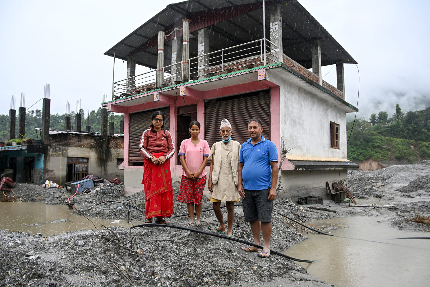
Long before a wave of water rushed down the Bhote Koshi river and its tributaries, researchers were working to calculate just how many people are living downstream and exposed to potentially catastrophic flood risk in the areas that drain from Nepal’s high mountain basins. The number they came up with — about 294,000 and growing — shows just how many people are living in areas of extreme risk in a country where climate change is destabilizing the rock and ice holding Himalayan slopes together and where meltwater is pooling in an ever-growing catalog of glacial lakes. The recent disaster was on the main trade route between Nepal and the Tibetan Plateau.” The August disaster — when a massive rock and ice avalanche plunged off an almost 24,000-foot peak called Langtang Lirung and caused a debris flow that traveled about 120 miles — killed at least 1,455 people, and at least 5,285 people are still missing, according to Nepali authorities.
Nearly 14,000 people were rescued. If nothing is done, researchers say the number of people exposed will only grow. Many of those glacial lakes are pools of water dammed by ice that could fail and release a flush of water all at once.
The researchers started putting together this analysis in fall 2025, but it spent months undergoing academic peer review. They published their findings for the first time in the journal Scientific Reports on Thursday. The research is best viewed as a rough draft of where flood risk exists near Nepal’s high peaks — more thorough analysis is still needed.
The researchers performed their analysis by building a map of all rivers that originate in the transboundary areas of Nepal along the border with Tibet and India. They isolated areas within 50 kilometers, or 31 miles, downstream of glacial lakes or the headwaters of a river basin. Then, they mapped what would be exposed to floodwaters in a flood with 50 meters, or 164 vertical feet, of rising water downstream.
The researchers found about 108,000 people downstream of glacial lakes with ice that could fail and send a pulse of floodwater racing downstream. Floods that rise 164 vertical feet and travel 31 miles might sound like an extraordinary occurrence. However, the August flooding in the Bhote Koshi river and its tributaries traveled about 120 miles downstream and raised water levels by roughly 330 feet in some communities, said Dipesh Chapagain, a senior scientist at the United Nations University Institute for Environment and Human Security.
Watson said previous efforts to understand what portion of Nepal’s population is exposed to dangerous flooding that originates in the high mountains simply drew 1-kilometer (0.62-mile) buffers around alpine rivers. Watson said the new research will inform where flood hazard mapping should be prioritized. The focus now, Chapagain said, is to build temporary settlements for thousands of flood victims.
Extract — continue reading at the source.