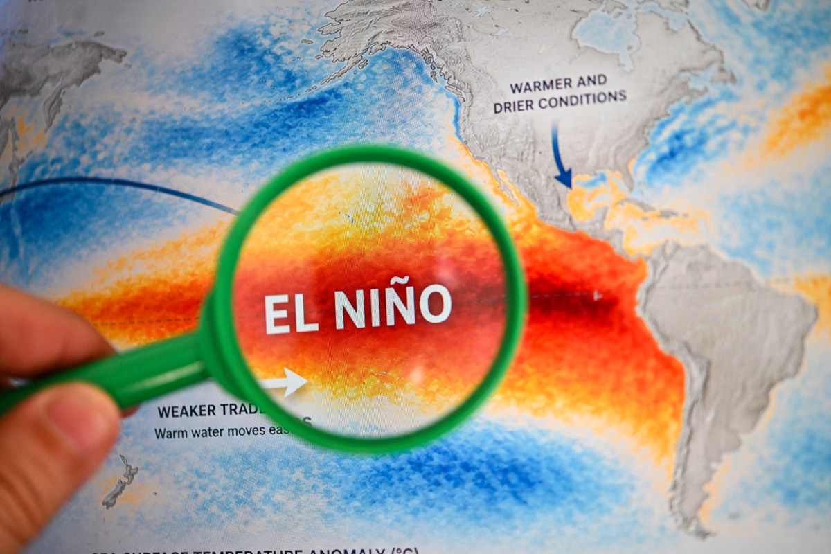
A potentially historic El Niño is expected to strengthen in the months ahead, raising questions about how the climate pattern could influence weather across the United States this winter. Federal forecasters indicated on Thursday that the phenomenon is expected to strengthen through the end of 2026, with a greater than 90 percent chance it will become a very strong event during fall and winter. El Niño is the warm phase of the El Niño-Southern Oscillation, or ENSO, a recurring Pacific climate pattern that can affect weather worldwide.
Its counterpart, La Niña, is the cycle's cool phase. Typical El Niño effects can include stormier weather across the Southern U.S., drier conditions in some northern areas and changes in hurricane activity. In an update on El Niño this week, the National Oceanic and Atmospheric Administration’s Climate Prediction Center said there is now a 75 percent chance El Niño will reach historic strength during the October-to-December period, surpassing previous events in records dating to 1950.
That likelihood has increased from 69 percent in the agency’s August update. The agency cautioned, however, that while an event of that magnitude would increase the likelihood of typical El Niño weather impacts, those effects were not guaranteed. AccuWeather lead long-range expert Paul Pastelok told Newsweek that December could see an increased chance of heavy rainfall across central and Northern California, potentially including the Northeast, as well as snow across the Sierras.
Meanwhile, very mild conditions can occur across the Great Lakes, Midwest and Northeast, compared to average,” the meteorologist said. Pastelok said that January and February could be similar, with a strong storm track into the West Coast, mostly over California and Nevada and heading into the Four Corners region. For temperature, the outlook favored above-normal conditions across a broad swath of the U.S., from the Pacific Northwest and northern Rockies through the Plains, Midwest and Northeast.
The strongest warm signal appeared along portions of the northern tier. It also favored above-normal temperatures across much of the Southern U.S., although the outlook was less decisive in parts of California and the Southwest. For precipitation, another outlook showed wetter-than-normal conditions favored from Southern California across the Southwest, the southern Plains and the Gulf Coast, then through Florida and parts of the East Coast.
Contact Newsweek editors on this story: Ben Kelly and Sam Wilson.
Extract — continue reading at the source.