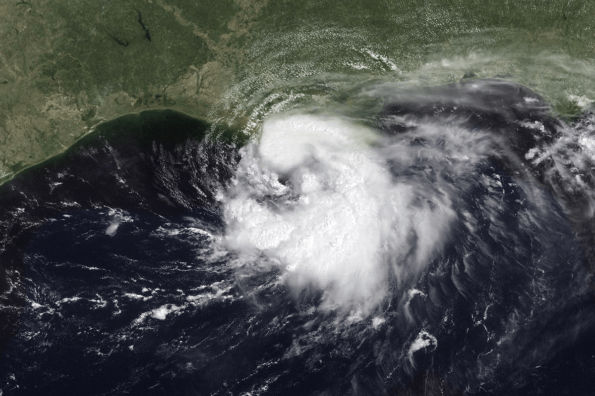
Multiple school districts across southeast Texas have canceled classes on Tuesday as Tropical Storm Edouard approaches the upper Texas Gulf Coast, bringing a growing threat of heavy rainfall, flash flooding and hazardous travel conditions. District leaders said the closures are intended to keep students, staff and families off the roads during the storm's expected peak impacts. The National Hurricane Center (NHC) upgraded the system to Tropical Storm Edouard on Monday evening after it strengthened in the Gulf of Mexico.
As of the NHC's early Tuesday advisory, Edouard was carrying maximum sustained winds of 40 mph and moving west-northwest toward the Texas-Louisiana coast. School districts cited forecasts for heavy rainfall, localized flooding and worsening travel conditions during normal dismissal hours. Several districts noted that weather conditions could deteriorate rapidly Tuesday afternoon, making it unsafe for buses and parents transporting students.
Texas officials have also warned that flooding, rather than wind, is likely to be the storm's most significant threat. Governor Greg Abbott said that “saving lives is the most important thing...It is essential that individuals prioritize their personal safety and stay away from rising water.” According to local reporting, the following independent school districts (ISDs)and educational institutions announced closures, or early releases, for September 1 due to the storm: Some districts have modified schedules instead of fully closing. Willis ISD announced early dismissals, while Southwest Public Schools planned to release students before the arrival of the heaviest rain bands.
Current forecast guidance used by the National Hurricane Center generally clusters Edouard's track toward the upper Texas coast and areas near the Texas-Louisiana border, with southeast Texas expected to experience the storm's heaviest rainfall. While the projected path has become more focused, even slight shifts could significantly alter where the most intense rainfall occurs. The National Weather Service (NWS) has warned that rainfall rates could exceed 3 to 4 inches per hour within the strongest rain bands, increasing the risk of flash flooding.
Most districts haven’t yet announced school closures beyond Tuesday. Several districts, including Anahuac ISD, Goose Creek CISD and Huffman ISD, said they would reassess conditions during the storm and provide updates Tuesday evening regarding Wednesday operations. As a result, schools are currently expected to reopen Wednesday if weather conditions improve and roadways remain safe, though additional closures remain possible in areas that experience flooding.
According to the NHC, Edouard is expected to continue strengthening as it approaches the northwest Gulf Coast before weakening after moving inland. Tropical Storm Warnings, Flood Watches and Storm Surge Warnings remain in effect for portions of the Texas and Louisiana coasts. Forecasters say southeastern Texas faces the greatest risk from excessive rainfall and flash flooding rather than destructive winds.
Extract — continue reading at the source.