This article has been reviewed according to Science X's editorial process and policies. Editors have highlighted the following attributes while ensuring the content's credibility: From the Vredefort Dome in South Africa (the world's oldest and largest known meteorite impact structure) to the volcanic lakes of the Great Rift Valley in Kenya, Africa's landscapes hold some of Earth's oldest stories. Morocco's M'Goun UNESCO Global Geopark records more than 200 million years of geological history, while Tanzania's Ngorongoro-Lengai landscape brings together a vast caldera, an active volcano and the fossil record of Olduvai Gorge.
These places are not simply beautiful. Their rocks, fossils, caves, craters and river valleys preserve evidence of ancient climates, vanished environments, human origins and changes in the Earth's surface. They are part of Africa's geoheritage: geological features and processes with scientific, educational and cultural value.
Yet much of this heritage in Africa remains poorly documented and unevenly protected. Many countries lack formal inventories of important geological sites. Legal protection is inconsistent, public awareness is limited and responsibility is often split between geological surveys, universities, conservation agencies and tourism authorities.
When a place is missing from an inventory or map, it is also more likely to disappear online. It may never be photographed systematically, modeled in three dimensions or added to searchable databases. That makes it harder for researchers, teachers, visitors and funders to find.
The underrepresentation of African journals in major academic databases deepens the problem. I am a research fellow at the University of the Western Cape, South Africa, a geoscientist and founder of DigGeoNaija, which explores how digital tools can document, interpret and promote Africa's geological heritage. In a recent study, I examined the visibility of Africa in the international literature on digital geoheritage.
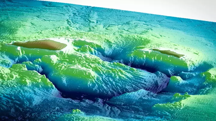
Around the world, heritage managers are using geographic information systems (GIS), satellite imagery, drones, photogrammetry, laser scanning, 3D modeling, virtual reality and artificial intelligence to record and explain geological sites. These tools can reveal erosion, quarrying and vandalism. They can also give students and researchers access to places that are distant or fragile, while helping visitors understand a landscape before they arrive.
Extract — continue reading at the source.