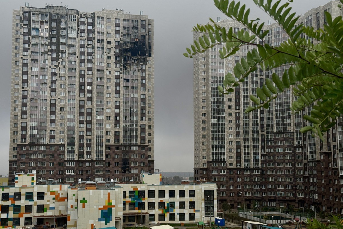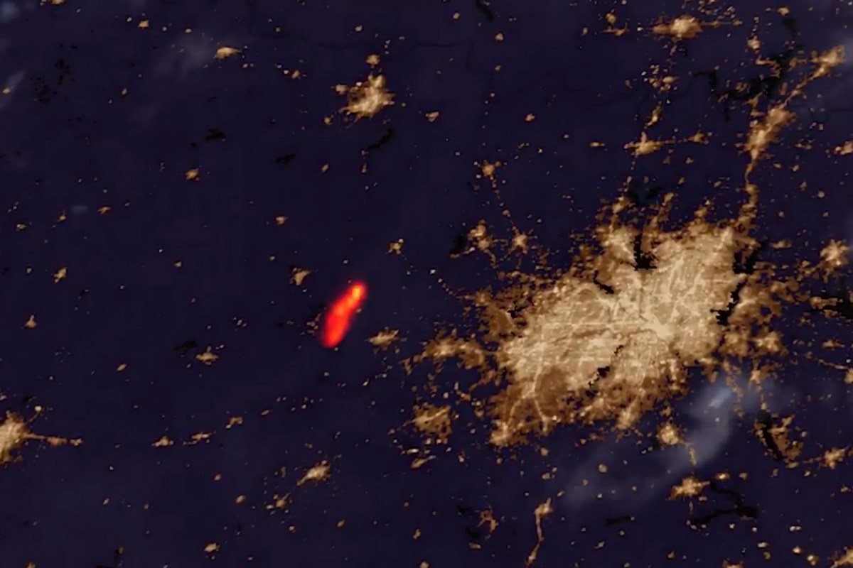
The Ross Fire, which has been burning across Palo Pinto and Jack counties, is only 12 percent contained as of early Wednesday. Satellite imagery shared Tuesday on X by the Cooperative Institute for Research in the Atmosphere (CIRA) showed the scale of the blaze after the fire "in North Texas exploded to over 50,000 acres in size last night after igniting yesterday." It was burning "just west" of the Dallas-Fort Worth metroplex and was eight percent contained at the time of the post, according to CIRA. Additional satellite footage posted by CIRA shortly after showed the bright glow of the fire contrasted to the nearby city lights of the Dallas-Fort Worth area.
The blaze has now expanded to 80,000 acres, according to the Texas A&M Forest Service, which reported the fire’s containment at 12 percent. It said in an update on X that strong winds over the fire area had compromised its left side, and that northwest winds are pushing the fire south. The (AP) reported that the Ross Fire burned through more than 78 square miles across two north central Texas counties in less than a day, after starting early Monday afternoon.
Driven by strong winds and exceptionally hot, dry conditions, the fire crossed creeks and rivers, forced evacuations and prompted some schools to cancel classes, according to the outlet. Several structures have been destroyed, according to Palo Pinto County officials cited by AP, although the full extent of the damage was not immediately known. Multiple buildings were also lost at Worth Ranch, a youth camp, but no campers or guests were present and personnel evacuated safely, it said.
Newsweek has reached out to incident experts, including Hector Marines at Texas A&M University, and is awaiting a response. AP reported that firefighters used water-dropping aircraft while working to protect properties near Palo Pinto. Palo Pinto County Emergency Services District 1 Fire Chief Danny Watkins said firefighters working through the night encountered conditions that made the blaze particularly difficult to control.
"They were met with erratic and aggressive fire behaviors, mixed with a heavy fuel load and the weather conditions," Watkins said, according to an interview reported by the Breckenridge Texan. He said crews were focused on protecting structures as the fire continued to spread, with more than 100 firefighters working the incident. Watkins described the combination of dry fuels and weather as "the perfect storm." "We’ve thrown everything at this, and we’re still having minimal effect," Watkins said, a comment also reported by AP.
Watkins’ description of a “perfect storm” reflects a combination of conditions that have made Palo Pinto County particularly vulnerable to fast-moving wildfires. Texas A&M Forest Service identifies the grass-and-brush landscape common in North Texas as a high-risk fuel type, particularly where Ashe and red-berry juniper are mixed with cured grasses. After extended dry periods, juniper canopies readily burn, while continuous grass provides a receptive fuel bed that allows flames to spread rapidly.
Extract — continue reading at the source.