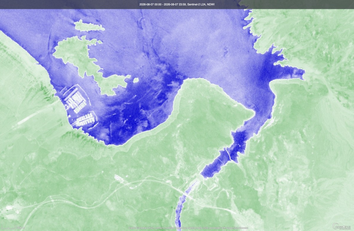
Satellite time-lapse imagery shows Lake Mead and Lake Powell, the largest and second-largest reservoirs in the U.S., shrinking over time as both recently plunged to record-low levels. The two reservoirs lie along the drought-stricken Colorado River, a vital artery for the American West. The river supports the water, hydropower and recreation needs of seven basin states—Arizona, California, Colorado, Utah, Nevada, New Mexico and Wyoming—and parts of Mexico, supplying some or all municipal water for between 35 million and 40 million people while irrigating millions of acres of farmland.
Lake Mead recently edged below a record low set in 2022 when levels dropped to about 1,040.4 feet above sea level earlier this month. The new low was “discouraging but not surprising," Sarah Porter, director of the Kyl Center for Water Policy at Arizona State University, told Newsweek. Porter added that the reservoir could see “a little” recovery this winter, though “levels at both Lake Mead and Lake Powell have ratcheted down over the last quarter-century and one good winter won’t be enough to stabilize the system over the long term.” As Newsweek reported on Monday, water levels in Lake Powell dropped to 3,519.91 feet above sea level on Saturday, surpassing the previous record set in 2023.
Federal forecasters had previously warned that plunging levels at the reservoir could threaten hydropower production at Glen Canyon Dam, which forms the lake. Time-lapse satellite imagery released earlier this year highlighted more than a decade of falling water levels at Lake Powell. The footage, using imagery captured by NOAA’s JPSS satellites between 2012 and 2026, showed the lake’s shoreline gradually receding.
Officials announced steps to help prop up the reservoir’s levels earlier this year, including releasing water from the upstream Flaming Gorge Reservoir while also reducing downstream releases to Lake Mead. The basin states have been engaged in negotiations on how to manage the Colorado River in the years to come, with several current guidelines set to expire this year. Last month, federal officials revealed a new long-term framework for managing the system, detailing how the two lakes will be managed through 2036.
The Bureau of Reclamation’s Final Environmental Impact Statement designated a preferred course of action for future management, establishing “an adaptive decision framework to be used to develop operating guidelines.” In a statement, Interior Secretary Doug Burgum said his department “has a responsibility to ensure the Colorado River system remains reliable and resilient for the millions of Americans, communities and industries that depend on it.” “[The] framework provides the flexibility to respond to changing hydrologic conditions while preserving the opportunity for the Basin States to continue working toward durable, consensus-based solutions,” Burgum added. Contact Newsweek editors on this story: John Fitzpatrick and Dave Siminoff.
Extract — continue reading at the source.