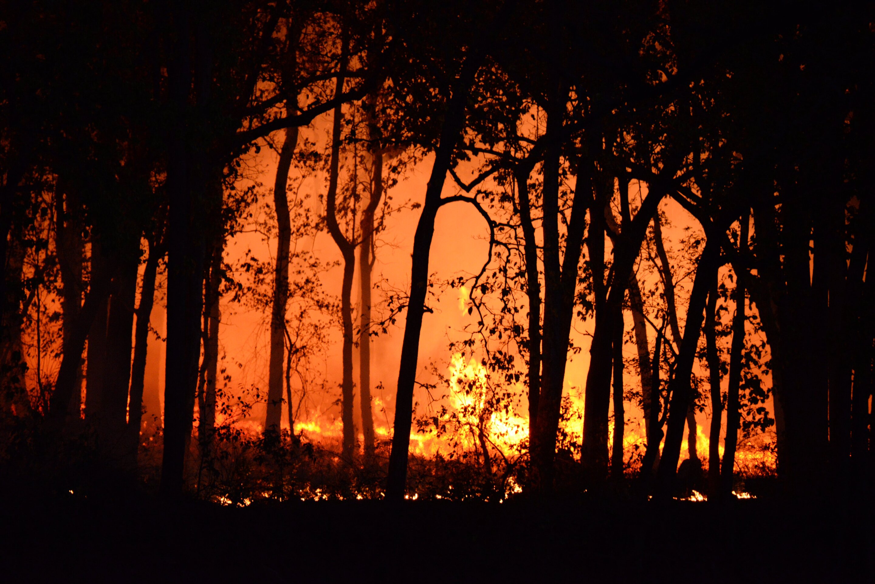
This article has been reviewed according to Science X's editorial process and policies. Editors have highlighted the following attributes while ensuring the content's credibility: The summer of 2026 has brought one of the UK's most severe wildfire seasons in recent years, fueled by extreme heat and exceptionally dry conditions. More than 500 fires were recorded across the country in July alone, affecting agricultural land, moorland, heathland and upland grasslands—landscapes that store carbon, regulate water, reduce flood risk and support some of the UK's most valuable biodiversity.
While the visible damage caused by wildfire is clear, the impacts on soil health are much harder to see. The project is led by Professor Davey Jones of Bangor University's School of Environmental and Natural Sciences, working with colleagues Professor Dave Chadwick, Professor Robert Griffiths, Dr. "Soil is often called the UK's forgotten ecosystem, but it does an enormous amount of work for us below our feet, locking away carbon, filtering our drinking water and supporting the plants and animals that our landscapes depend on," said Jones.
"Immediately after a fire, the soil can tell us a great deal about how badly it has been affected. But some of those signals can change rapidly following rainfall, erosion and vegetation recovery. That's why it is so important that we are able to get into the field quickly following wildfires." The Bangor team is using a paired-plot approach, comparing burned land directly with adjacent unburned land.
This provides a natural comparison that allows researchers to identify changes caused by fire while accounting for differences between sites. Locations are being identified across the UK using NASA satellite data, allowing the team to rapidly select suitable sites following new fires. Researchers will measure changes in soil carbon and nutrients, microbial activity and function, water repellency and erosion risk, alongside impacts on plant biodiversity.
By sampling across different ecosystems, the team will also investigate whether some habitats are more vulnerable to wildfire than others. Initial field observations from sites at Sychnant Pass near Conwy and the Rhinogydd near Harlech in north Wales illustrate the potential scale of the impacts. The sites include upland heath within highly protected landscapes designated as Special Areas of Conservation, Sites of Special Scientific Interest and a National Nature Reserve.
At Sychnant Pass, preliminary field estimates suggest that the fire consumed 12–17 tonnes of carbon per hectare from vegetation while burning deeply into the surface litter layer. Researchers also observed substantial losses of soil organic matter, highlighting the large stores of carbon held within these upland landscapes. "These initial observations give us a snapshot of what has been lost, but measuring the immediate damage is only part of the story," said Chadwick.
Extract — continue reading at the source.