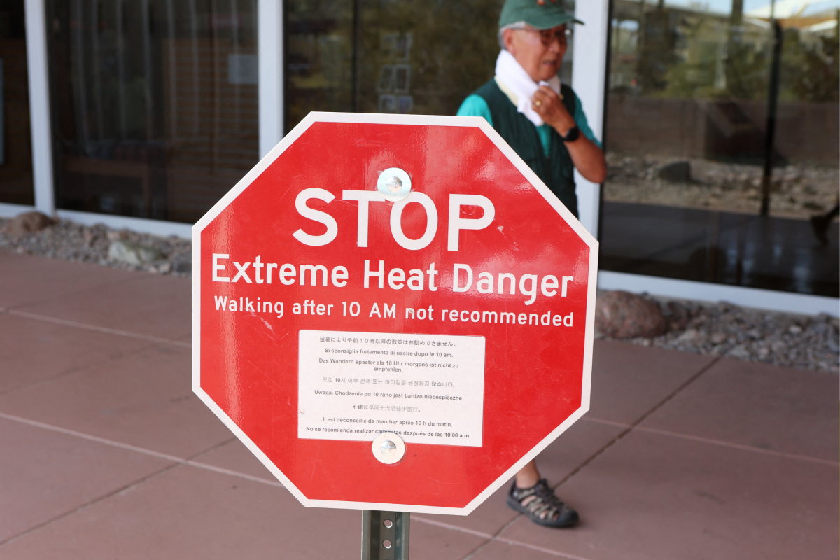
A powerful heat dome is bearing down on several south-central and mid-South regions of the United States starting September 16, bringing potentially “record-challenging” temperatures and dangerous humidity to at least 12 states. According to the National Weather Service (NWS), heat advisories are in place from Wednesday across parts of: The NWS Weather Prediction Center (WPC) said an “upper-level high” associated with a “persistent heat dome” remains firmly established across the South. The WPC expected temperatures to reach the upper 90s and lower 100s from the Southern Plains into the lower Mississippi Valley, potentially challenging daily records.
Meanwhile, areas north of a slow-moving front across the Central Plains and Midwest could experience highs only in the upper 60s and low 70s, creating what WPC forecasters have described as a “pronounced north-south temperature contrast.” An advisory issued by the NWS in Tulsa, Oklahoma, said heat index values (how hot it actually feels when air temperature and humidity are combined) could reach up to 107 degrees Fahrenheit across eastern, northeastern and southeastern Oklahoma and parts of northwestern and west-central Arkansas through Wednesday. A separate advisory covered southeastern Kansas and a broad section of southern Missouri, including Fort Scott, Joplin, Springfield, Branson, Lebanon, Rolla and Lake of the Ozarks communities, where temperatures could reach around 105 degrees from Wednesday through to Friday. In northeastern Texas, the forecast for Texarkana called for a high near 109 degrees during the hottest parts of Wednesday.
Areas in and around central Mississippi, southeast Arkansas, and northeast Louisiana should brace for temperatures up to 110 degrees throughout Wednesday. A heat dome forms when a large area of high pressure becomes stuck over a region. The system traps hot air near the ground, while clear skies and bright sunshine keep temperatures rising day after day after day.
The National Environmental Satellite, Data, and Information Service (NESDIS) explains that the weather system acts like a cap or a lid over the atmosphere, stopping warm air near the surface from rising and disappearing. Because these weather patterns can move slowly, heat can accumulate for days or sometimes weeks. High humidity makes a heat dome more hazardous because it limits sweat evaporation, one of the body’s main ways to cool itself.
The NWS says that when air temperatures reach around 95 degrees, the body becomes increasingly dependent on sweat evaporation to release heat. Humid air can interfere with that process and cause the internal body temperature to rise. The Centers for Disease Control and Prevention (CDC) says heat waves are among the leading causes of weather-related deaths in the United States, and estimates that extreme heat kills approximately 1,220 people in the U.S. each year.
Heat exposure can lead to conditions like heat exhaustion and heatstroke, as well as cardiovascular and respiratory complications, kidney failure, and electrolyte imbalances. Older adults, children, pregnant women, outdoor workers, athletes, and people with existing heart or lung conditions are the most vulnerable and face the highest risks. The CDC recommends staying in an air-conditioned building or using a public cooling center if home air conditioning isn’t available.
Extract — continue reading at the source.