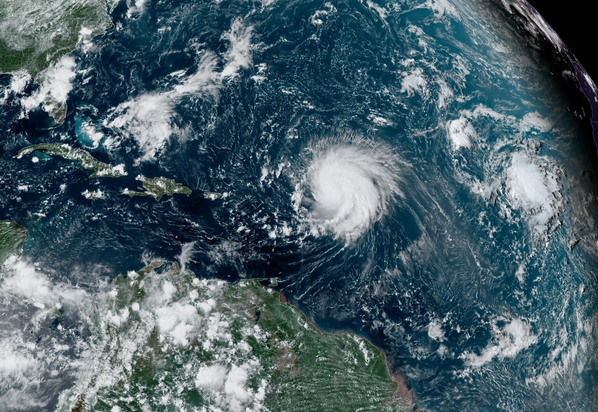
El Niño has likely helped suppress Atlantic hurricane activity during a quiet 2026 season, but its wider effects could shape weather patterns into 2027. The Climate Prediction Center said in its latest update that El Niño was continuing to strengthen and had a greater than 90 percent chance of becoming a very strong event during the Northern Hemisphere fall and winter. The agency said there was also a 75 percent chance it would reach a level during October through December that exceeds previous El Niño events in records dating to 1950, although it stressed that impacts associated with an event of that strength are not guaranteed.
Five named storms have formed in the Atlantic so far this year, according to the National Hurricane Center, but none has become a hurricane. El Niño is the warm phase of the El Niño-Southern Oscillation, or ENSO, a naturally occurring climate pattern involving interactions between the Pacific Ocean and the atmosphere. La Niña is the opposite phase, marked by cooler waters.
ENSO-neutral describes periods when neither El Niño nor La Niña is present. Changes between these phases can influence temperatures, rainfall and weather patterns around the world. Forecasters previously indicated that the Atlantic could see a quieter-than-usual hurricane season, while the Pacific could see increased activity, as a result of El Niño conditions.
"El Niño conditions are associated with fewer tropical storms and hurricanes, especially in the Western Atlantic Ocean Basin," Matthew Rosencrans, NOAA’s lead for its seasonal hurricane outlook told Newsweek previously. "El Niño conditions are associated with more tropical storm and hurricane activity during the eastern and central Pacific hurricane seasons." AccuWeather meteorologist Alex DaSilva told Newsweek that it's still too soon to know what shape El Niño will take by the time next year's hurricane season arrives. "Most likely, however, El Niño will be on the weakening trend or even neutral for the next hurricane season.
Depending on other factors, that could lead to more activity than this year, however it is too early to say for sure." DaSilva said that during typical El Niño winters, portions of the U.S. Southeast can see increased rainfall. El Niño increases vertical wind shear in the Atlantic, which tears apart developing tropical systems.
"This is due to a more robust subtropical jet stream. We typically also see more rainfall in California with more atmospheric river events as well across the state," said DaSilva, adding that "history tells us that California and the Southeast should be wetter this winter overall." If that historical pattern holds, DaSilva said the wetter conditions expected in California and the Southeast could help alleviate drought conditions affecting both regions. El Niño patterns can also deliver more severe weather across the Gulf Coast states, he said.
Extract — continue reading at the source.